|
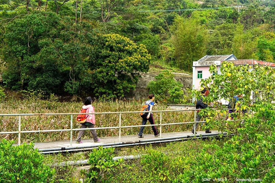 |
| Taken at Latitude/Longitude:22.284184/113.926003. 0.56 km South-East San Tau Hong Kong (Map link) |
| Photographer: kingkong | Camera: SONY NEX-5 | Date: 01-04-2013 09:57:07 | Resolution: 900 x 599 | ISO: 200 | Exp. Mode: Aperture priority | Exp. bias: 0 EV | Exp. Time: 1/100s | Aperture: 8.0 | Focal Length: 36.0mm (~54.0mm) | White Balance: Manual white balance | Flash: No | Latitude: N 22°17'3.06" | Longitude: E 113°55'33.61" | Altitude: 23 metres | See map |
| Total images: 30 | Help |