|
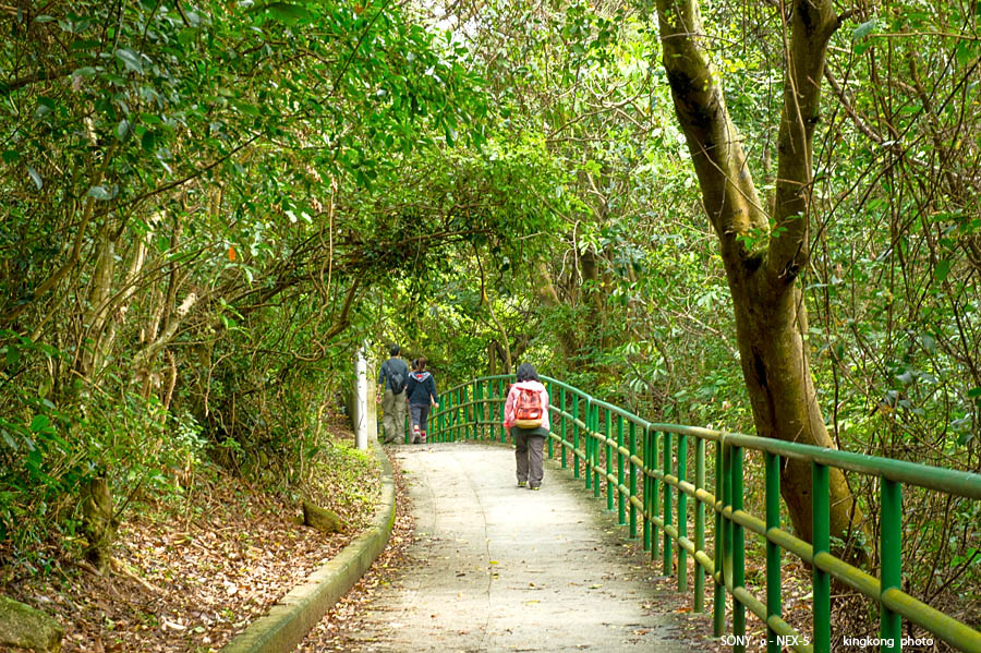 |
| Taken at Latitude/Longitude:22.285957/113.924065. 0.28 km South-East San Tau Hong Kong (Map link) |
| Photographer: kingkong | Camera: SONY NEX-5 | Date: 01-04-2013 10:00:19 | Resolution: 900 x 599 | ISO: 200 | Exp. Mode: Aperture priority | Exp. bias: 0 EV | Exp. Time: 1/20s | Aperture: 8.0 | Focal Length: 55.0mm (~82.0mm) | White Balance: Manual white balance | Flash: No | Latitude: N 22°17'9.45" | Longitude: E 113°55'26.63" | Altitude: 10 metres | See map |
| Total images: 30 | Help |