|
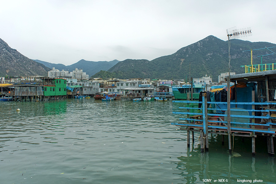 |
| Taken at Latitude/Longitude:22.255116/113.863272. 0.23 km North Tai O Hong Kong (Map link) |
| Photographer: kingkong | Camera: SONY NEX-5 | Date: 01-04-2013 13:23:22 | Resolution: 900 x 599 | ISO: 200 | Exp. Mode: Aperture priority | Exp. bias: 0 EV | Exp. Time: 1/400s | Aperture: 8.0 | Focal Length: 18.0mm (~27.0mm) | White Balance: Manual white balance | Flash: No | Latitude: N 22°15'18.42" | Longitude: E 113°51'47.78" | Altitude: 3 metres | See map |
| Total images: 30 | Help |