|
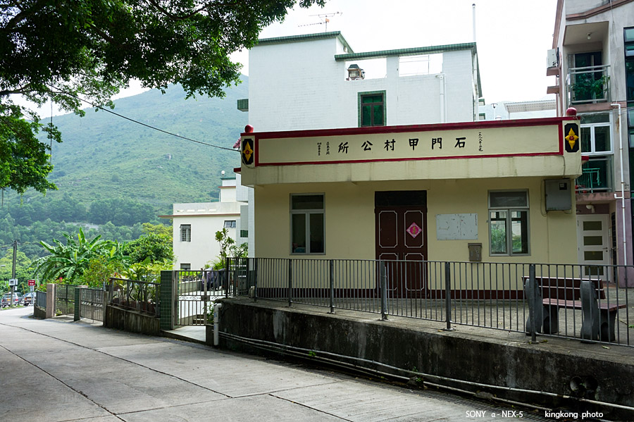 |
| Taken at Latitude/Longitude:22.265803/113.927998. 0.34 km West Shek Mun Kap Hong Kong (Map link) |
| Photographer: kingkong | Camera: SONY NEX-5 | Date: 01-10-2013 11:18:00 | Resolution: 900 x 599 | ISO: 200 | Exp. Mode: Aperture priority | Exp. bias: 0 EV | Exp. Time: 1/125s | Aperture: 8.0 | Focal Length: 23.0mm (~34.0mm) | White Balance: Manual white balance | Flash: No | Latitude: N 22°15'56.89" | Longitude: E 113°55'40.79" | Altitude: 106 metres | See map |
| Total images: 26 | Help |