|
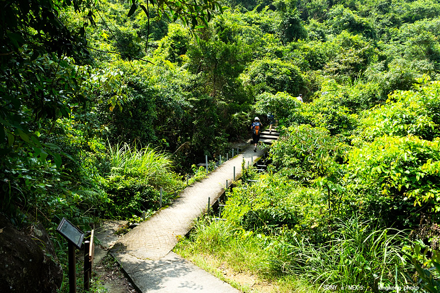 |
| Taken at Latitude/Longitude:22.257189/113.926383. 0.32 km South Tei Tong Tsai Hong Kong (Map link) |
| Photographer: kingkong | Camera: SONY NEX-5 | Date: 01-10-2013 11:51:41 | Resolution: 900 x 599 | ISO: 200 | Exp. Mode: Aperture priority | Exp. bias: 0 EV | Exp. Time: 1/250s | Aperture: 6.3 | Focal Length: 21.0mm (~31.0mm) | White Balance: Manual white balance | Flash: No | Latitude: N 22°15'25.88" | Longitude: E 113°55'34.98" | Altitude: 280 metres | See map |
| Total images: 26 | Help |