|
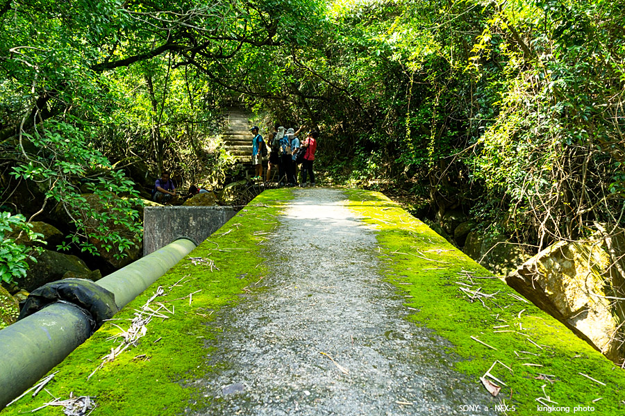 |
| Taken at Latitude/Longitude:22.257943/113.925630. 0.24 km South Tei Tong Tsai Hong Kong (Map link) |
| Photographer: kingkong | Camera: SONY NEX-5 | Date: 01-10-2013 11:54:35 | Resolution: 900 x 599 | ISO: 200 | Exp. Mode: Aperture priority | Exp. bias: 0 EV | Exp. Time: 1/60s | Aperture: 6.3 | Focal Length: 18.0mm (~27.0mm) | White Balance: Manual white balance | Flash: No | Latitude: N 22°15'28.59" | Longitude: E 113°55'32.27" | Altitude: 293 metres | See map |
| Total images: 26 | Help |