|
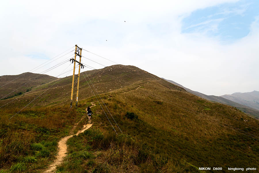 |
| Taken at Latitude/Longitude:22.458879/114.057686. 1.17 km South-East Ha San Wai Hong Kong (Map link) |
| Photographer: kingkong | Camera: NIKON D600 | Date: 06-01-2013 14:33:51 | Resolution: 900 x 601 | ISO: 100 | Exp. Mode: Aperture priority | Exp. bias: 0 EV | Exp. Time: 1/250s | Aperture: 7.1 | Focal Length: 24.0mm (~24.0mm) | White Balance: Auto white balance | Flash: No | Latitude: N 22°27'31.97" | Longitude: E 114°3'27.67" | Altitude: 75 metres | See map |
| Total images: 23 | Help |