|
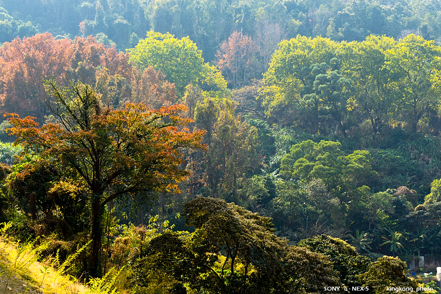 |
| Taken at Latitude/Longitude:22.420420/114.094180. 1.19 km East Po Lo Shan Hong Kong (Map link) |
| Photographer: kingkong | Camera: SONY NEX-5 | Date: 16-01-2011 13:04:46 | Resolution: 900 x 600 | ISO: 400 | Exp. Mode: Aperture priority | Exp. bias: -0.3 EV | Exp. Time: 1/320s | Aperture: 8.0 | Focal Length: 51.0mm (~76.0mm) | White Balance: Auto white balance | Flash: No | Latitude: N 22°25'13.51" | Longitude: E 114°5'39.05" | Altitude: 94 metres | See map |
| Total images: 46 | Help |