|
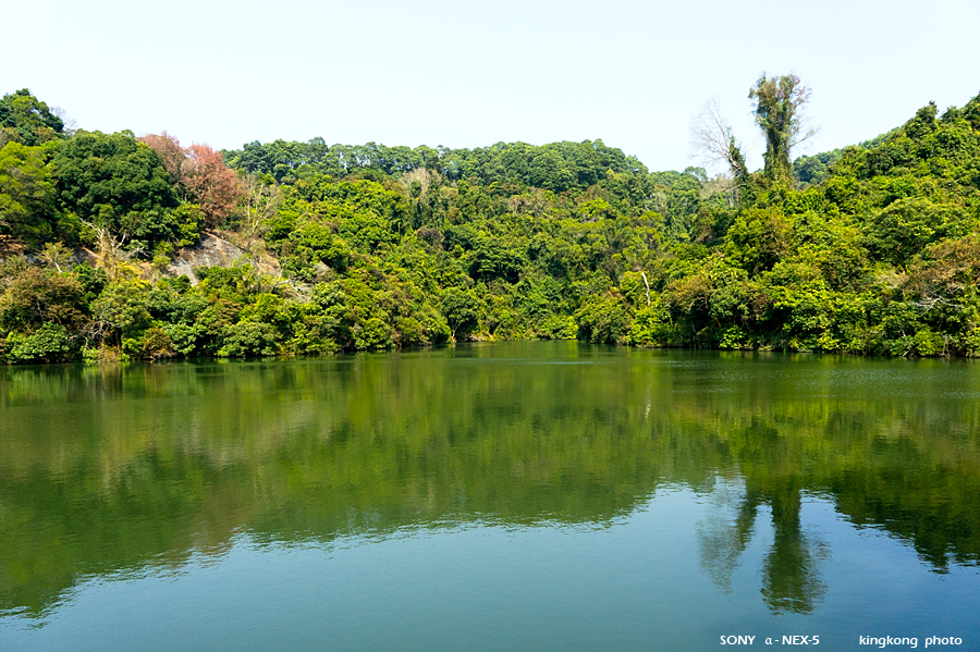 |
| Taken at Latitude/Longitude:22.415760/114.085980. 0.29 km East Po Lo Shan Hong Kong (Map link) |
| Photographer: kingkong | Camera: SONY NEX-5 | Date: 16-01-2011 13:45:33 | Resolution: 900 x 599 | ISO: 400 | Exp. Mode: Aperture priority | Exp. bias: -0.3 EV | Exp. Time: 1/640s | Aperture: 7.1 | Focal Length: 18.0mm (~27.0mm) | White Balance: Auto white balance | Flash: No | Latitude: N 22°24'56.74" | Longitude: E 114°5'9.53" | Altitude: 108 metres | See map |
| Total images: 46 | Help |