|
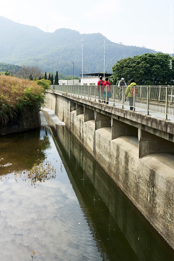 |
| Taken at Latitude/Longitude:22.424794/114.106960. 1.19 km South-East Shek Kong Hong Kong (Map link) |
| Photographer: kingkong | Camera: SONY NEX-5 | Date: 30-01-2011 12:24:24 | Resolution: 600 x 900 | ISO: 200 | Exp. Mode: Aperture priority | Exp. bias: 0 EV | Exp. Time: 1/320s | Aperture: 7.1 | Focal Length: 18.0mm (~27.0mm) | White Balance: Auto white balance | Flash: No | Latitude: N 22°25'29.26" | Longitude: E 114°6'25.06" | Altitude: 87 metres | See map |
| Total images: 52 | Help |