|
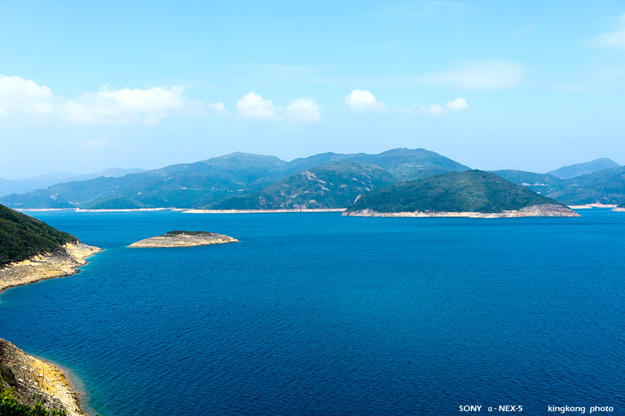 |
| Taken at Latitude/Longitude:22.363408/114.356836. 0.79 km South-East Sha Tsiu Hong Kong (Map link) |
| Photographer: kingkong | Camera: SONY NEX-5 | Date: 14-11-2010 12:03:20 | Resolution: 900 x 599 | ISO: 200 | Exp. Mode: Aperture priority | Exp. bias: 0 EV | Exp. Time: 1/500s | Aperture: 8.0 | Focal Length: 26.0mm (~39.0mm) | White Balance: Auto white balance | Flash: No | Latitude: N 22°21'48.27" | Longitude: E 114°21'24.61" | Altitude: 89 metres | See map |
| Total images: 34 | Help |