|
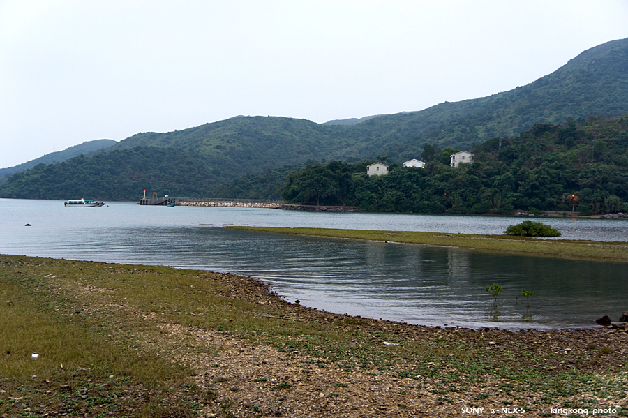 |
| Taken at Latitude/Longitude:22.422613/114.351535. 0.68 km North Sha Tau Hong Kong (Map link) |
| Photographer: kingkong | Camera: SONY NEX-5 | Date: 14-11-2010 17:38:23 | Resolution: 900 x 599 | ISO: 200 | Exp. Mode: Aperture priority | Exp. bias: 0 EV | Exp. Time: 1/15s | Aperture: 4.0 | Focal Length: 29.0mm (~43.0mm) | White Balance: Auto white balance | Flash: No | Latitude: N 22°25'21.41" | Longitude: E 114°21'5.52" | Altitude: 8 metres Unknown (1) | See map |
| Total images: 34 | Help |