|
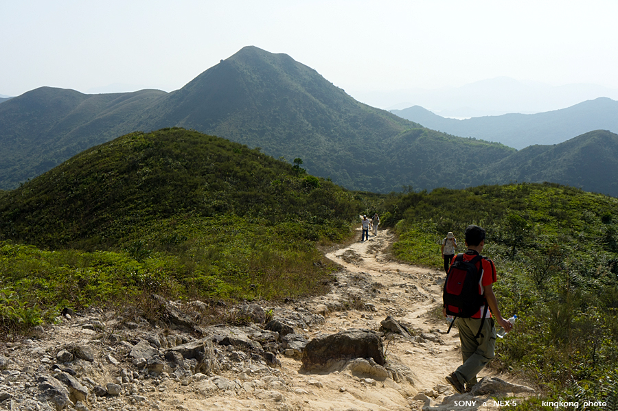 |
| Taken at Latitude/Longitude:22.421220/114.306310. 0.82 km North-East Ping Tun Hong Kong (Map link) |
| Photographer: kingkong | Camera: SONY NEX-5 | Date: 21-11-2010 14:09:24 | Resolution: 900 x 599 | ISO: 200 | Exp. Mode: Aperture priority | Exp. bias: -0.3 EV | Exp. Time: 1/640s | Aperture: 8.0 | Focal Length: 26.0mm (~39.0mm) | White Balance: Auto white balance | Flash: No | Latitude: N 22°25'16.39" | Longitude: E 114°18'22.72" | Altitude: 309 metres | See map |
| Total images: 51 | Help |