|
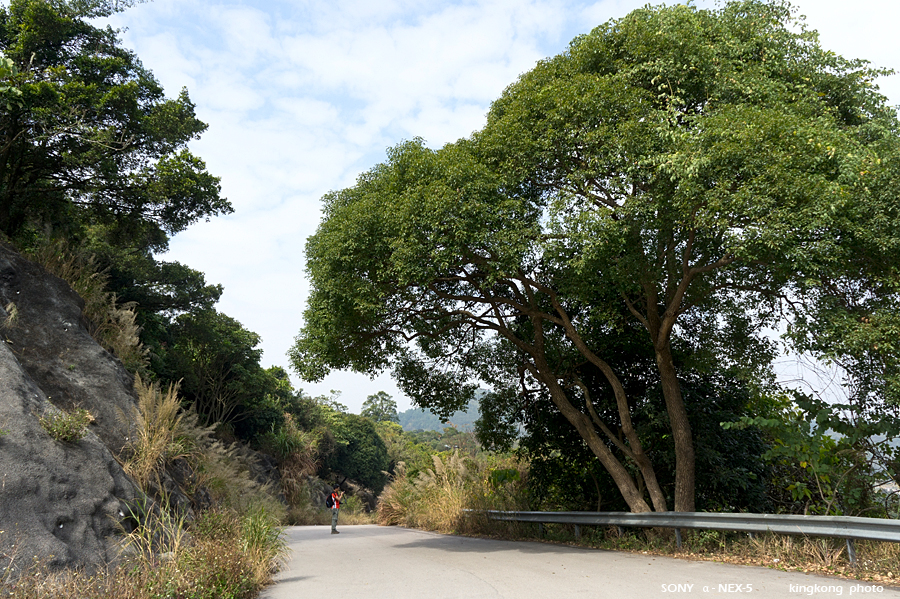 |
| Taken at Latitude/Longitude:22.496587/114.180241. 0.49 km South-West Kwai Tau Leng Hong Kong (Map link) |
| Photographer: kingkong | Camera: SONY NEX-5 | Date: 06-02-2011 11:09:35 | Resolution: 900 x 599 | ISO: 200 | Exp. Mode: Aperture priority | Exp. bias: 0 EV | Exp. Time: 1/250s | Aperture: 7.1 | Focal Length: 18.0mm (~27.0mm) | White Balance: Auto white balance | Flash: No | Latitude: N 22°29'47.71" | Longitude: E 114°10'48.87" | Altitude: 68 metres | See map |
| Total images: 79 | Help |