|
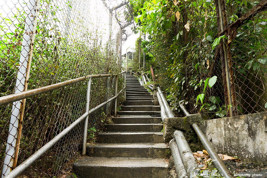 |
| Taken at Latitude/Longitude:22.371947/114.101080. 0.60 km North Tsuen Wan Hong Kong (Map link) |
| Photographer: kingkong | Camera: SONY NEX-5 | Date: 11-03-2012 09:26:13 | Resolution: 900 x 599 | ISO: 200 | Exp. Mode: Aperture priority | Exp. bias: 0 EV | Exp. Time: 1/10s | Aperture: 6.3 | Focal Length: 18.0mm (~27.0mm) | White Balance: Auto white balance | Flash: No | Latitude: N 22°22'19.01" | Longitude: E 114°6'3.89" | Altitude: 25 metres Unknown (1) | See map |
| Total images: 65 | Help |