|
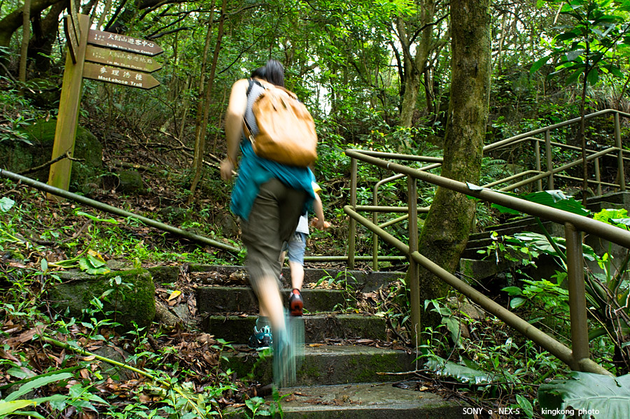 |
| Taken at Latitude/Longitude:22.405468/114.108719. 1.08 km North-East Pak Shek Kiu Hong Kong (Map link) |
| Photographer: kingkong | Camera: SONY NEX-5 | Date: 12-05-2013 10:42:00 | Resolution: 900 x 599 | ISO: 200 | Exp. Mode: Aperture priority | Exp. bias: 0 EV | Exp. Time: 1/10s | Aperture: 6.3 | Focal Length: 18.0mm (~27.0mm) | White Balance: Manual white balance | Flash: No | Latitude: N 22°24'19.68" | Longitude: E 114°6'31.39" | Altitude: 520 metres | See map |
| Total images: 40 | Help |