|
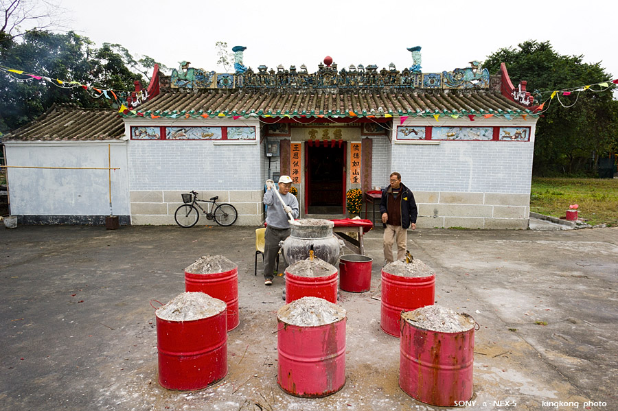 |
| Taken at Latitude/Longitude:22.281166/113.927236. 0.59 km North Ngau Au Hong Kong (Map link) |
| Photographer: kingkong | Camera: SONY NEX-5 | Date: 22-01-2012 10:41:03 | Resolution: 900 x 599 | ISO: 200 | Exp. Mode: Aperture priority | Exp. bias: 0.3 EV | Exp. Time: 1/20s | Aperture: 9.0 | Focal Length: 16.0mm (~24.0mm) | White Balance: Auto white balance | Flash: No | Latitude: N 22°16'52.20" | Longitude: E 113°55'38.05" | Altitude: 2 metres Unknown (1) | See map |
| Total images: 74 | Help |