|
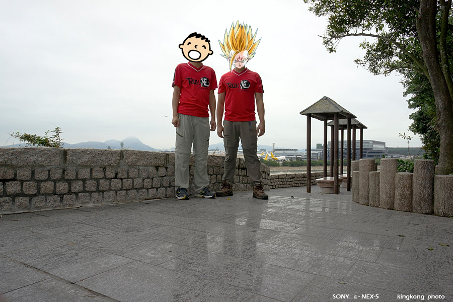 |
| Taken at Latitude/Longitude:22.289992/113.908456. 0.86 km North-East Sha Lo Wan Hong Kong (Map link) |
| Photographer: kingkong | Camera: SONY NEX-5 | Date: 22-01-2012 11:23:50 | Resolution: 900 x 600 | ISO: 200 | Exp. Mode: Aperture priority | Exp. bias: 0.7 EV | Exp. Time: 1/80s | Aperture: 8.0 | Focal Length: 16.0mm (~24.0mm) | White Balance: Auto white balance | Flash: Flash fired | Latitude: N 22°17'23.97" | Longitude: E 113°54'30.44" | Altitude: 22 metres | See map |
| Total images: 74 | Help |