|
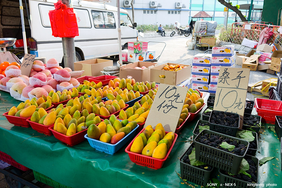 |
| Taken at Latitude/Longitude:22.502990/114.126540. 0.77 km North-West Fan Leng Pak Wai Hong Kong (Map link) |
| Photographer: kingkong | Camera: SONY NEX-5 | Date: 01-04-2012 16:49:49 | Resolution: 900 x 599 | ISO: 200 | Exp. Mode: Aperture priority | Exp. bias: 0 EV | Exp. Time: 1/60s | Aperture: 5.6 | Focal Length: 18.0mm (~27.0mm) | White Balance: Auto white balance | Flash: No | Latitude: N 22°30'10.76" | Longitude: E 114°7'35.54" | Altitude: 11 metres | See map |
| Total images: 25 | Help |