|
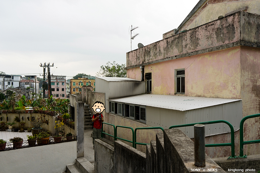 |
| Taken at Latitude/Longitude:22.337175/114.234385. 0.44 km North Pak Kung Au Hong Kong (Map link) |
| Photographer: kingkong | Camera: SONY NEX-5 | Date: 06-03-2011 09:27:16 | Resolution: 900 x 599 | ISO: 200 | Exp. Mode: Aperture priority | Exp. bias: 0.3 EV | Exp. Time: 1/125s | Aperture: 5.6 | Focal Length: 18.0mm (~27.0mm) | White Balance: Auto white balance | Flash: No | Latitude: N 22°20'13.83" | Longitude: E 114°14'3.79" | Altitude: 219 metres | See map |
| Total images: 72 | Help |