|
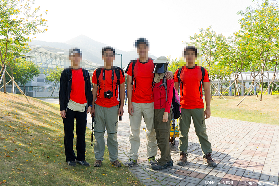 |
| Taken at Latitude/Longitude:22.333302/114.029754. 0.37 km West Tai Tsing Chau Hong Kong (Map link) |
| Photographer: kingkong | Camera: SONY NEX-5 | Date: 05-12-2010 09:53:51 | Resolution: 900 x 599 | ISO: 200 | Exp. Mode: Aperture priority | Exp. bias: 0 EV | Exp. Time: 1/160s | Aperture: 5.6 | Focal Length: 19.0mm (~28.0mm) | White Balance: Auto white balance | Flash: Flash fired | Latitude: N 22°19'59.89" | Longitude: E 114°1'47.11" | Altitude: 5 metres | See map |
| Total images: 120 | Help |