|
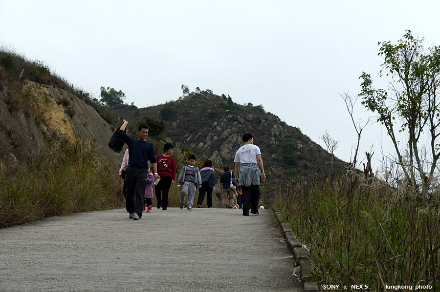 |
| Taken at Latitude/Longitude:22.407183/113.952475. 1.66 km North-West Shek Pai Tau Hong Kong (Map link) |
| Photographer: kingkong | Camera: SONY NEX-5 | Date: 12-02-2012 12:00:37 | Resolution: 900 x 599 | ISO: 200 | Exp. Mode: Aperture priority | Exp. bias: 0 EV | Exp. Time: 1/640s | Aperture: 5.6 | Focal Length: 55.0mm (~82.0mm) | White Balance: Auto white balance | Flash: No | Latitude: N 22°24'25.86" | Longitude: E 113°57'8.91" | Altitude: 181 metres | See map |
| Total images: 69 | Help |