|
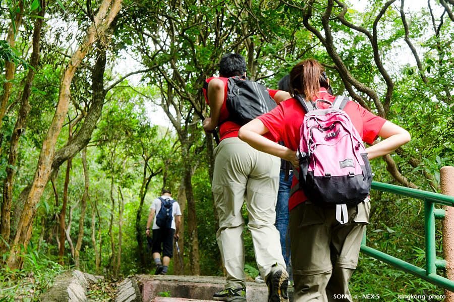 |
| Taken at Latitude/Longitude:22.460631/114.159319. 0.51 km South-East Hong Lok Yuen Hong Kong (Map link) |
| Photographer: kingkong | Camera: SONY NEX-5 | Date: 05-10-2011 10:49:53 | Resolution: 900 x 599 | ISO: 200 | Exp. Mode: Aperture priority | Exp. bias: 0 EV | Exp. Time: 1/100s | Aperture: 6.3 | Focal Length: 41.0mm (~61.0mm) | White Balance: Auto white balance | Flash: No | Latitude: N 22°27'38.27" | Longitude: E 114°9'33.55" | Altitude: 121 metres | See map |
| Total images: 39 | Help |