|
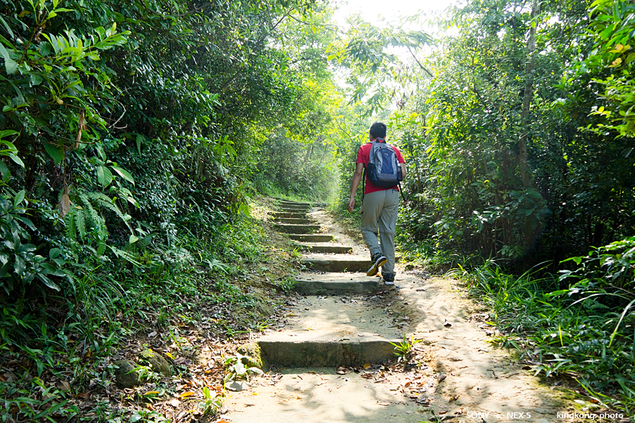 |
| Taken at Latitude/Longitude:22.374440/114.145330. 1.51 km North-East Shek Lei Hong Kong (Map link) |
| Photographer: kingkong | Camera: SONY NEX-5 | Date: 04-09-2011 09:23:08 | Resolution: 900 x 599 | ISO: 200 | Exp. Mode: Aperture priority | Exp. bias: 0 EV | Exp. Time: 1/160s | Aperture: 5.0 | Focal Length: 18.0mm (~27.0mm) | White Balance: Auto white balance | Flash: No | Latitude: N 22°22'27.98" | Longitude: E 114°8'43.19" | Altitude: 280 metres | See map |
| Total images: 23 | Help |