|
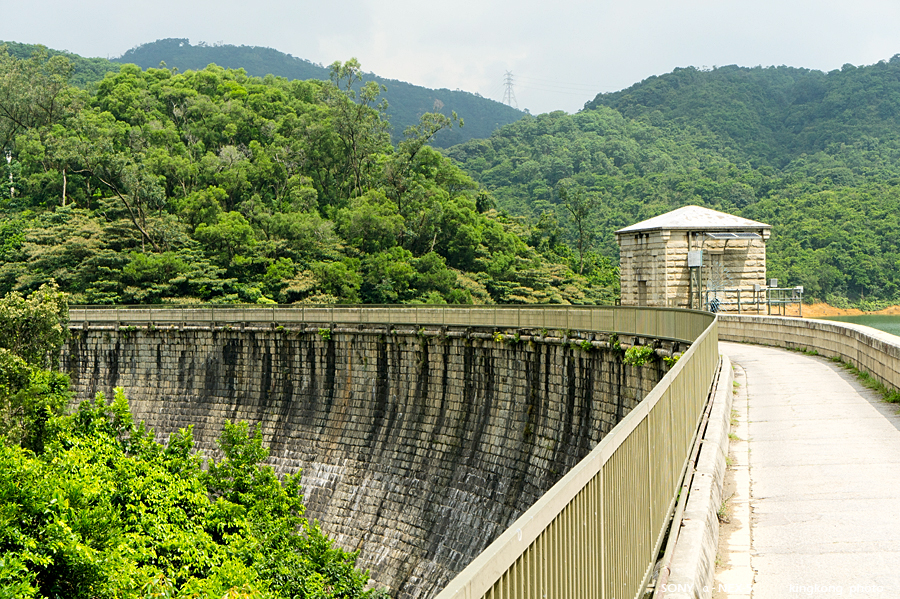 |
| Taken at Latitude/Longitude:22.349250/114.153480. 1.36 km West Tai Wo Ping Hong Kong (Map link) |
| Photographer: kingkong | Camera: SONY NEX-5 | Date: 04-09-2011 10:47:05 | Resolution: 900 x 599 | ISO: 200 | Exp. Mode: Aperture priority | Exp. bias: 4294967293/10 EV | Exp. Time: 1/320s | Aperture: 8.0 | Focal Length: 42.0mm (~63.0mm) | White Balance: Auto white balance | Flash: No | Latitude: N 22°20'57.30" | Longitude: E 114°9'12.53" | Altitude: 165 metres | See map |
| Total images: 23 | Help |