|
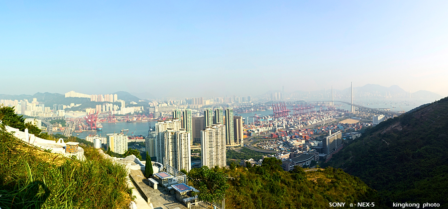 |
| Taken at Latitude/Longitude:22.345185/114.102549. 0.60 km South-East Tsing Yi Town Hong Kong (Map link) |
| Photographer: kingkong | Camera: SONY NEX-5 | Date: 31-10-2010 16:08:23 | Resolution: 900 x 420 | ISO: 200 | Exp. Mode: Manual control | Exp. bias: 0 EV | Exp. Time: 1/400s | Aperture: 7.1 | Focal Length: 22.0mm (~33.0mm) | White Balance: Auto white balance | Flash: No | Latitude: N 22°20'42.67" | Longitude: E 114°6'9.18" | Altitude: 184 metres | See map |
| Total images: 27 | Help |