|
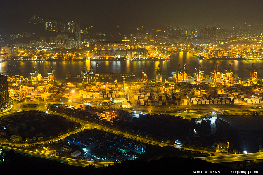 |
| Taken at Latitude/Longitude:22.336527/114.102007. 0.41 km North-East Chun Fa Lok Hong Kong (Map link) |
| Photographer: kingkong | Camera: SONY NEX-5 | Date: 31-10-2010 18:26:35 | Resolution: 900 x 599 | ISO: 200 | Exp. Mode: Aperture priority | Exp. bias: 0.7 EV | Exp. Time: 5.0s | Aperture: 9.0 | Focal Length: 25.0mm (~37.0mm) | White Balance: Auto white balance | Flash: No | Latitude: N 22°20'11.50" | Longitude: E 114°6'7.23" | Altitude: 302 metres | See map |
| Total images: 27 | Help |