|
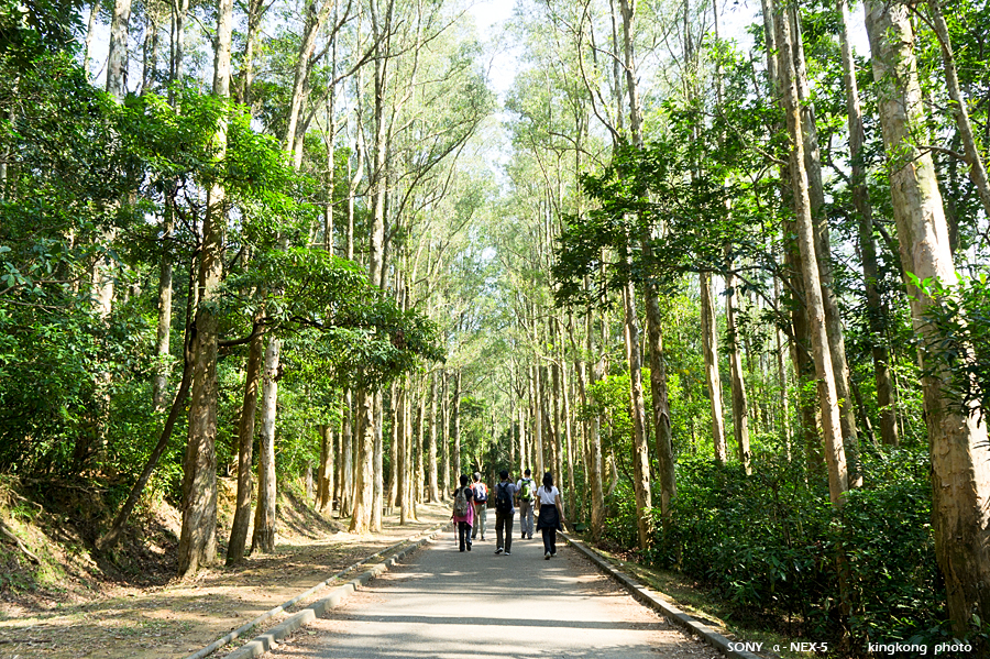 |
| Taken at Latitude/Longitude:22.392156/114.148693. 1.86 km North-East Wo Yi Hop Hong Kong (Map link) |
| Photographer: kingkong | Camera: SONY NEX-5 | Date: 28-11-2010 13:46:10 | Resolution: 900 x 599 | ISO: 200 | Exp. Mode: Aperture priority | Exp. bias: 0 EV | Exp. Time: 1/60s | Aperture: 7.1 | Focal Length: 18.0mm (~27.0mm) | White Balance: Auto white balance | Flash: No | Latitude: N 22°23'31.76" | Longitude: E 114°8'55.30" | Altitude: 199 metres | See map |
| Total images: 30 | Help |