|
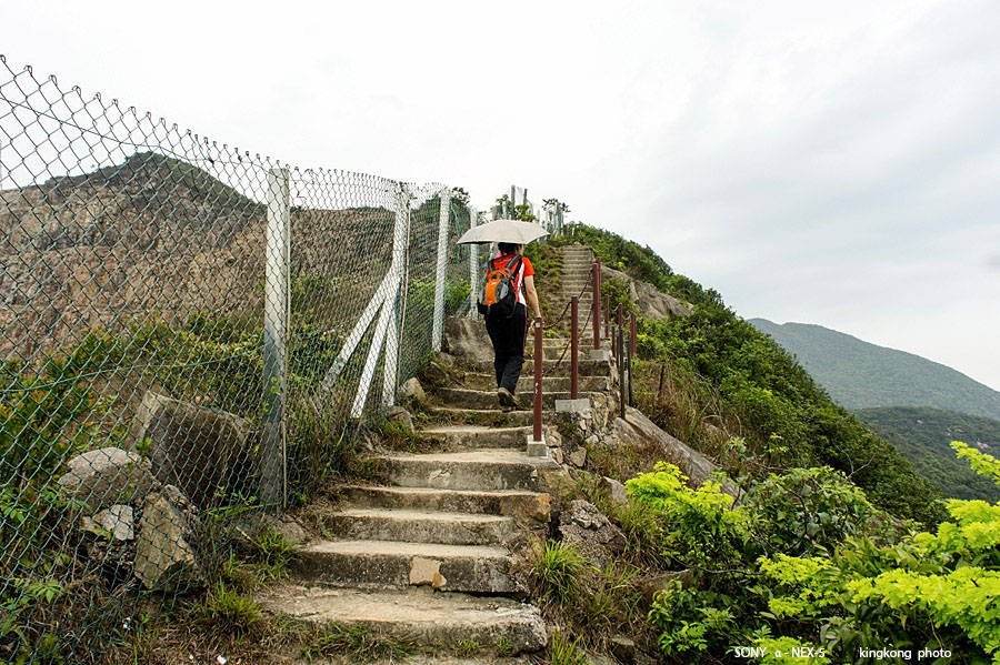 |
| Taken at Latitude/Longitude:22.268082/114.205446. 1.78 km South-West Quarry Bay Hong Kong (Map link) |
| Photographer: kingkong | Camera: SONY NEX-5 | Date: 24-03-2013 14:27:16 | Resolution: 900 x 599 | ISO: 200 | Exp. Mode: Aperture priority | Exp. bias: 0 EV | Exp. Time: 1/160s | Aperture: 8.0 | Focal Length: 18.0mm (~27.0mm) | White Balance: Manual white balance | Flash: No | Latitude: N 22°16'5.10" | Longitude: E 114°12'19.60" | Altitude: 333 metres | See map |
| Total images: 32 | Help |