|
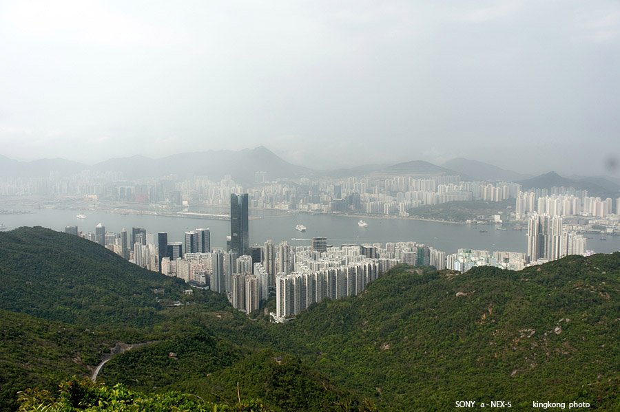 |
| Taken at Latitude/Longitude:22.267279/114.211956. 1.66 km South Quarry Bay Hong Kong (Map link) |
| Photographer: kingkong | Camera: SONY NEX-5 | Date: 24-03-2013 14:59:07 | Resolution: 900 x 599 | ISO: 200 | Exp. Mode: Aperture priority | Exp. bias: 0 EV | Exp. Time: 1/640s | Aperture: 7.1 | Focal Length: 22.0mm (~33.0mm) | White Balance: Manual white balance | Flash: No | Latitude: N 22°16'2.20" | Longitude: E 114°12'43.04" | Altitude: 391 metres | See map |
| Total images: 32 | Help |